In 1940 the Tennessee Valley Authority (TVA) completed work the the Hiwassee Dam in western North Carolina. The dam would flood almost 434,000 acres and create a lake that would have 180 miles of shoreline. The creation of this lake would mean many towns, graves, farms, roads and railroads, would have to be moved, or be flooded. The L&N would have to relocate part of their Murphy Branch line (Blue Ridge GA to Murphy NC) around the Cane Creek area.
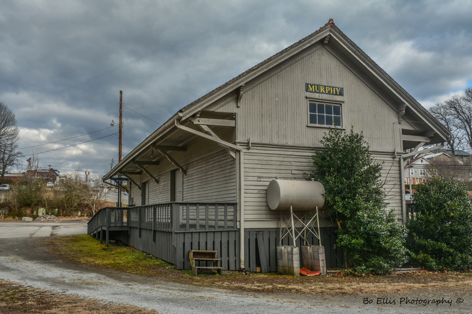
Murphy NC was the meeting points for two railroads, the L&N and the Southern. The L&N would run from their Knoxville and Atlanta line in Blue Ridge, where the Southern ran from Ashville NC. Both railroads met and had their own Depots and rail yards in Murphy. Unfortunately the L&N abandoned tore up their tracks from Blue Ridge in 1982. The Southern kept their tracks and are now owned by the state of North Carolina.
Murphy NC was the meeting points for two railroads, the L&N and the Southern. The L&N would run from their Knoxville and Atlanta line in Blue Ridge, where the Southern ran from Ashville NC. Both railroads met and had their own Depots and rail yards in Murphy. Unfortunately the L&N abandoned tore up their tracks from Blue Ridge in 1982. The Southern kept their tracks and are now owned by the state of North Carolina.
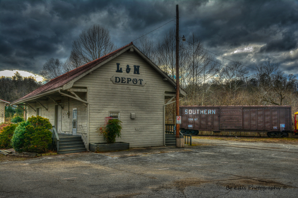
The L&N Depot in Murphy.
This is where the L&N crossed over the Hiwassee River in Murphy. The depot is behind me.
This was the site of the L&N and Southern interchange rail yard. The L&N depot is behind me and the Southern depot would have been on the other side of the yard. (Burned down in 70's I believe)
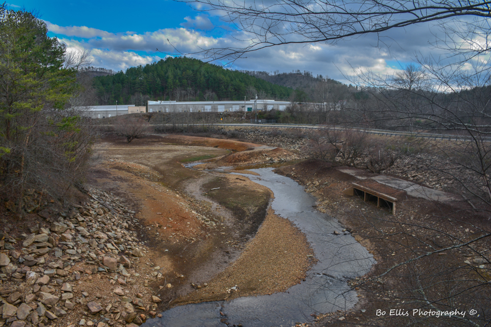
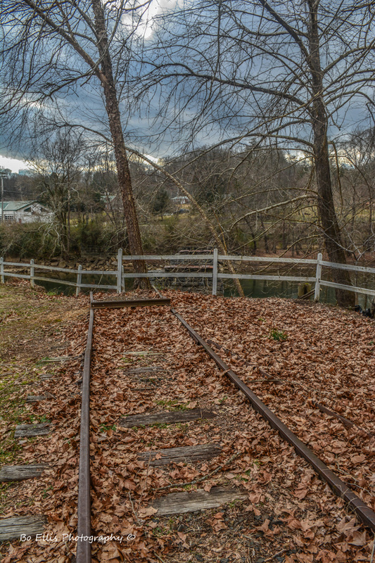
Cane Creek. This area is usually flooded in the warmer months thanks to TVA. Noticed the old road bed to the right in the picture. Relocated due to the creation of Hiwassee Lake. I am standing on what use to be part of an old L&N bridge.
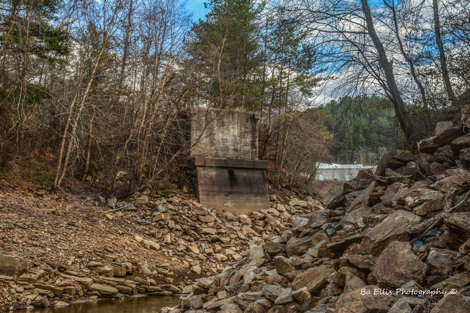
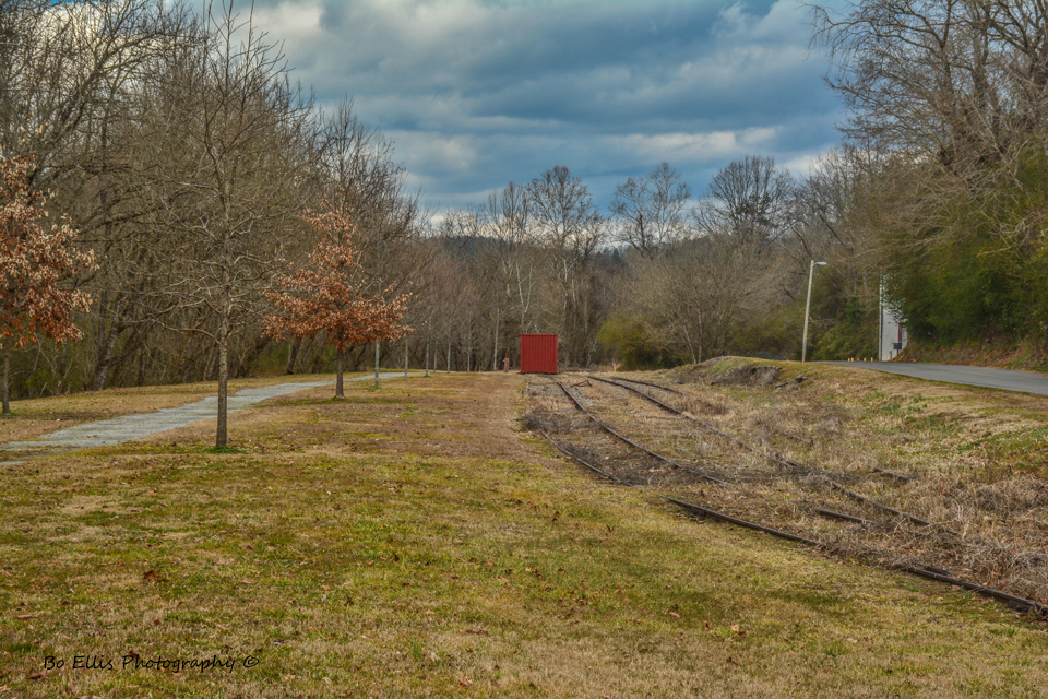
Abandoned footing for an L&N Bridge. Was built as part of the relocation of the railroad.
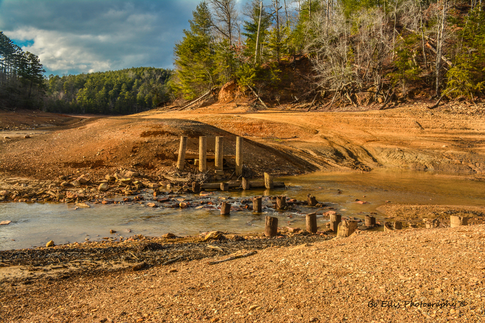
Site of an old railroad bridge over Cane Creek. Was relocated after Hiwassee Lake was made. This is usually (at least) 7-8 feet under the lake surface during the summer months.
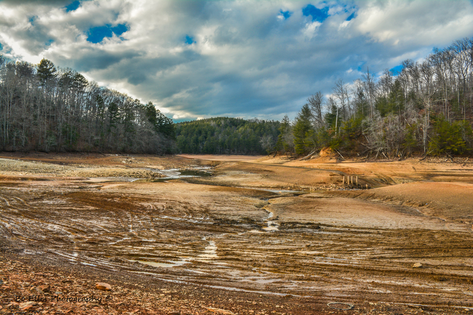
The area of Cane Creek usually under water.
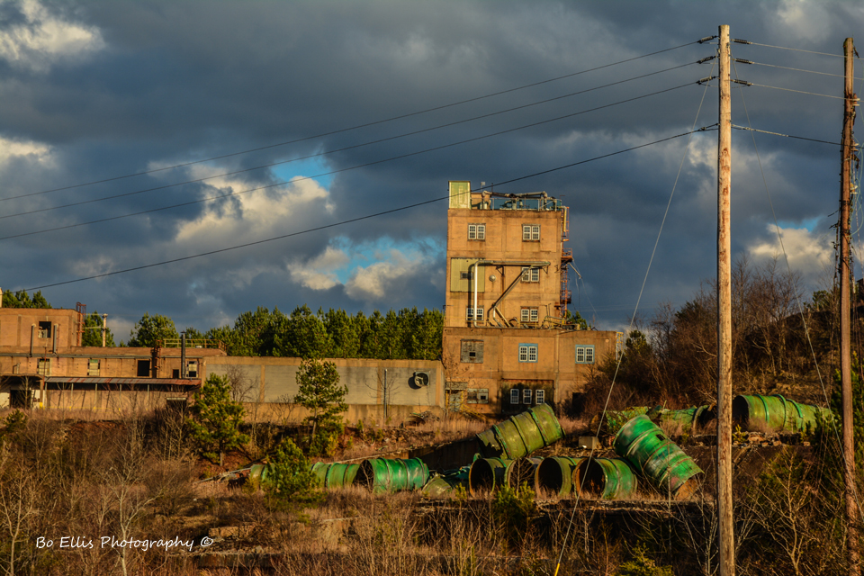
One of the few buildings left of the old copper complex in Copperhill Tn. Has nothing else to do with this blog, just thought yall might like it lol.
 RSS Feed